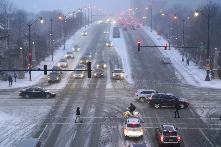
A strong snow and ice storm followed by brutally cold conditions will soon smack the eastern two-thirds of the United States as frigid air escapes the Arctic, plunging as far south as Florida, meteorologists forecast.
Starting Saturday, millions of people are going to be hit by moderate to heavy snow from Kansas City to Washington — including a high chance of at least 8 inches of snow between central Kansas and Indiana — the National Weather Service warned Friday. Dangerous ice particularly lethal to power lines — “so heavy like paste, it’s hard to move,” said private meteorologist Ryan Maue — is likely to set in just south of that in southern Kansas, Missouri, Illinois, Indiana and much of Kentucky and West Virginia.
“It’s going to be a mess, a potential disaster,” Maue said. “This is something we haven’t seen in quite a while.”
National Weather Service meteorologist Alex Lamers said Friday that the potential for blizzard conditions is increasing, particularly in Kansas and neighboring portions of the Central Plains, and that wind gusts may reach 50 mph at times.
“This could lead to the coldest January for the U.S. since 2011,” AccuWeather Director of Forecast Operations Dan DePodwin said Friday. “It’s not just one day of this. It’s going to be three to five, in some cases a week or more of temperatures that are well below historical average.”
The Associated Press is an independent global news organization dedicated to factual reporting. Founded in 1846, AP today remains the most trusted source of fast, accurate, unbiased news in all formats and the essential provider of the technology and services vital to the news business. The Trucker Media Group is subscriber of The Associated Press has been granted the license to use this content on TheTrucker.com and The Trucker newspaper in accordance with its Content License Agreement with The Associated Press.


