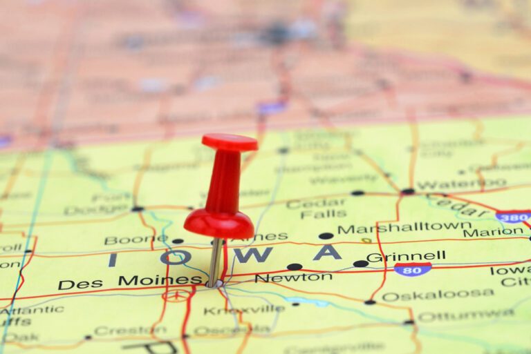
AMES, Iowa — One of the Iowa Department of Transportation’s most popular publications, the printed version of the Iowa Transportation Map, is now available.
Travelers can pick up a copy of the 2023-24 Iowa Transportation Map at Iowa DOT’s driver’s license service centers, county treasurer’s offices, all six Iowa DOT district offices, Iowa’s welcome centers and the state’s rest areas, a news release noted.
The electronic version to view, print and download is available at www.iowadot.gov/maps, along with a mobile app version and a link to order the map.
The map shows all highways, airports, rail lines, lakes, rivers and major county roads.
Detail maps are shown for the state’s 16 largest cities that identify highways, major streets, and city boundaries. The map information also includes a chart to find mileage between select Iowa cities; and an index listing the cities shown on the map, along with their populations and map location.
“Because the transportation system is always changing, the Iowa DOT makes several hundred changes to the map with each printing,” according to the news release. “While the map is printed every two years, the online and mobile app versions are updated annually.”
The Trucker News Staff produces engaging content for not only TheTrucker.com, but also The Trucker Newspaper, which has been serving the trucking industry for more than 30 years. With a focus on drivers, the Trucker News Staff aims to provide relevant, objective content pertaining to the trucking segment of the transportation industry. The Trucker News Staff is based in Little Rock, Arkansas.


