SAN FRANCISCO — A slow-moving Pacific storm could bring excessive rain and flooding to California on Wednesday, forecasters warned.
The center of the low-pressure system was about 300 miles west of San Francisco during the early-morning hours and was expected to gradually move south along the coast, the National Weather Service said.
The storm, which was likely to be more powerful than one that blew in earlier this week, was expected to finally jumpstart a laggard rainy season just a year after California was inundated by a flurry of atmospheric rivers that refilled reservoirs that had been emptied by a prolonged drought.
Advisories for minor flooding were in effect for parts of the San Francisco Bay Area and around Monterey Bay. Near sunrise, forecasters issued a marine warning for waters off the central coast due to a severe thunderstorm capable of producing waterspouts.
The storm’s major impacts were expected later from the central coast south through Los Angeles to San Diego.
Flood watches issued for the region warned of a high risk of roadway flooding, rockslides and mudslides, debris flows from wildfire burn scars and travel delays. Rainfall totals for some foothills and coastal slopes ranged up to 10 inches.
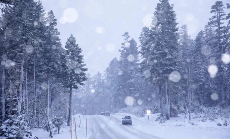
Snowfall, however, was predicted to be limited to high elevations in the southern Sierra Nevada and some Southern California ranges.
The Associated Press is an independent global news organization dedicated to factual reporting. Founded in 1846, AP today remains the most trusted source of fast, accurate, unbiased news in all formats and the essential provider of the technology and services vital to the news business. The Trucker Media Group is subscriber of The Associated Press has been granted the license to use this content on TheTrucker.com and The Trucker newspaper in accordance with its Content License Agreement with The Associated Press.


